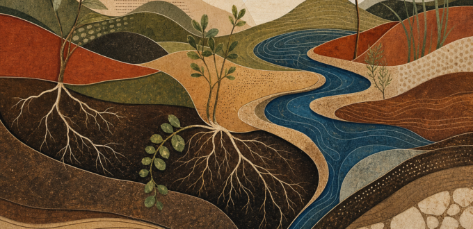
In 2018, global assessments made land degradation impossible to treat as a niche concern. The more durable lesson was equally important: repair cannot be designed from a distance.
In 2018, land returned to the centre of environmental conversation. It had always been there, of course. Soil, grasslands, wetlands, forests and farms support food, water, biodiversity and livelihoods. But the year gave the issue a sharper public language. The IPBES assessment on land degradation and restoration warned that degraded land was affecting the well-being of billions of people and putting biodiversity, water security and climate resilience under pressure. At the same time, the IPCC special report on global warming of 1.5 degrees Celsius made clear that the difference between 1.5 and 2 degrees of warming is not an abstract decimal point. It is a difference in risks to ecosystems and people.
It is tempting to hear the word restoration and picture a simple reversal: a damaged place made green again. But landscapes do not work that way. A wetland may be drained by decisions far upstream. A forest may be fragmented by roads, land tenure insecurity or agricultural markets. A rangeland may look bare in one season while still being part of a carefully managed grazing system. The work of restoration is therefore not merely technical. It is social, economic and political. It asks who has access to land, who carries risk, what knowledge is trusted and which institutions can support care over decades rather than grant cycles.
This is where community engagement changes the quality of the work. Farmers, pastoralists, fishers, Indigenous Peoples and local residents often observe changes before they appear in formal datasets: a spring that arrives later, a slope that erodes after a new road, a seed variety that no longer performs reliably, a shift in the timing of insects or grass growth. These observations are not substitutes for science. They are part of the evidence that helps science and policy remain connected to place. The best restoration plans bring local observation, ecological research and practical experimentation into the same conversation.
The 2018 land assessment also offered a more useful way to think about solutions. Preventing degradation is usually less costly and more effective than attempting to repair it later. Where repair is necessary, it should improve ecological function while supporting people whose livelihoods depend on the landscape. That may mean restoring riparian vegetation and water infiltration, strengthening community seed systems, protecting mobility routes in drylands, supporting agroecological practices, or enabling local groups to monitor change over time. There is no universal restoration recipe, because the starting conditions and governance arrangements are never universal.
This is an important caution against a new kind of green simplification. Large planting targets and satellite-friendly claims can attract attention, but a number on a dashboard does not tell us whether an ecosystem is recovering, whether biodiversity is returning, whether water is more secure, or whether communities have gained or lost control of their territory. Trees are not automatically forests; planted seedlings are not automatically restoration; a boundary is not automatically protection. We need to ask what is being restored, for whom, and under whose authority.
For Amaterra, the lesson of 2018 fits a long-standing ethic of earthcare. Practical work matters: a rain garden, a seed bank, a restored creek, a field school or a carefully tended native planting. Yet practical work becomes more powerful when it is linked to justice and learning. Support local organizations to define priorities. Pay people for the expertise and time they bring. Use mapping and monitoring in ways communities can govern. Make room for knowledge that is seasonal, cultural and difficult to compress into a single indicator. The aim is not to return a landscape to an imagined untouched past. It is to strengthen the living relationships that allow land, water, biodiversity and communities to recover together.
2018 therefore remains more than a year of warnings. It marked a shift toward seeing land as a shared system rather than a backdrop for separate environmental issues. Climate adaptation, biodiversity protection, food security and public health all meet in the quality of land and water governance. The most convincing response is neither despair nor a promise of instant greening. It is sustained, locally accountable work that protects what is still healthy, repairs what can be repaired and gives people the means to shape the landscapes on which they depend.
There is also a role for better public data, provided it is governed well. Remote sensing can show broad changes in vegetation cover and water, while local mapping can identify erosion, access routes and restoration priorities. Used together, these tools can make planning more transparent. Used carelessly, they can turn a territory into a dataset for outside decisions. A responsible project agrees early on what will be collected, who can view it, how it will be interpreted and whether any information must remain restricted. The goal is not to map everything. It is to support the decisions that communities themselves need to make.
No Comments Yet